Creating a new user-defined Coordinate System
To create a user-defined coordinate system you need to access the Coordinate System Wizard:
- Select either Map | Output Coordinate System or Dataset | Input Coordinate System. (The new coordinate system will become available in both Map and Dataset Properties sections)
- Click Create...
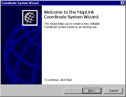
- Click Next to continue.
- Select whether you wish to create a new coordinate system from scratch or to base it on an existing coordinate system. Click Next to continue.
- If you are creating the new system from scratch you should click Browse to take you into the Datum Browser. The Datum type that you select here will determine the Projections available for your new system. Only projections compatible with the chosen Datum will be appear in the Projection Browser.
If you have chosen to create the new system based on an old system, click Browse to take you to the Coordinate System Browser and select an existing coordinate system on which to base the new system. This must be one that uses the datum required for the new system. If you wish to view the system details first:
- Click Details. This takes you to the Coordinate Systems Properties section, which has three pages: Details, Datum and projection.
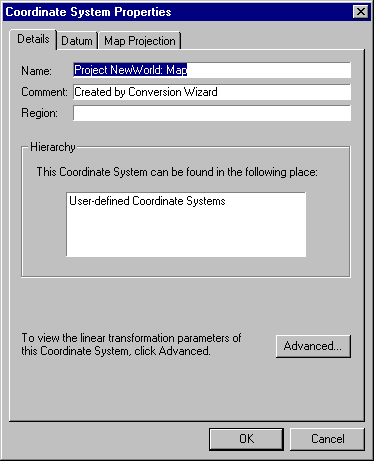
- To view Linear Transform information, click the Advanced button. Click OK or Cancel to return to the Coordinate System Properties section.
- Click OK or Cancel to return to the Browser.
- Once you have selected the datum or coordinate system that you want to base your new system on, click OK. This will return you to the Coordinate System Wizard.
- Click Next to continue
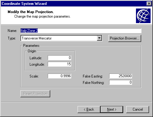
- To select a different map projection for the new coordinate system, click Projection Browser. Only projections compatible with the Datum selected will be available. To view the details of a projection before selecting it:
- Select the projection and click Details. This takes you to the Projection Properties page.
- Click OK or Cancel to return to the Projection Browser.
- When you have decided on the required projection, select it and click OK. This will return you to the Coordinate System Wizard.
- You can now amend any of the details of the projection including the scaling, false easting or false northing. Clicking Reset Projection will undo any amendments made.
- Click Next to continue
- Enter a name for the new coordinate system. You may add an additional comment and a description of the region it relates to.
- Click Finish
- The new coordinate system has now been added to the list of user-defined coordinate systems
Copyright © 1998 to by Envitia Group PLC.