DBDB-V
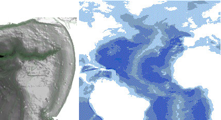
Digital Bathymetric DataBase. This consists of gridded, corrected depth data. The grid is defined in minutes of arc similar to DTED and is therefore lat/long aligned. A number of variants exist including DBDB 5, which has a spacing of 0.5 minutes of arc and DBDB-V, which has variable spacing. The data is used during underwater operations. Specification Reference: MIL-PRF-32030.
MapLink Pro Studio supports level 1.0 and level 4.0 DBDB-V as well as DBDB-V version 5 via different dataset types.
Copyright © 1998 to by Envitia Group PLC.