Geodetic clipping allows the user to clip data using a shape defined by lines of latitude and longitude upon the earth's surface. By contrast, output clipping clips against a rectangle in the defined output coordinate system, and in general will not clip against lines of latitude and longitude.
In geodetic clipping, the extent in latitude is defined normally using minimum and maximum values, but the extent in longitude is defined in terms of a reference meridian and extents West and East of the reference meridian. This removes any potential ambiguity in whole world datasets. The reference meridian is always included in the clipped extent.
 To define the clip boundaries for geodetic clipping
- Select the required layer
- Select Layer | Geodetic Clipping.
- Select the Apply Clipping in Geodetic Coordinate System option.
- To define Latitude Clipping, enter the minimum and maximum values of latitude in degrees
- To define the Longitude Clipping, enter the reference meridian and the degrees West and East of the reference meridian to be used for the clipping.
- Press OK to accept.
- Reload the layer to see the results of geodetic clipping, if automatic data loading is not enabled.
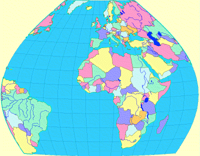
The example below shows the result of applying geodetic clipping to data in the Bonne projection (standard parallel 5°, longitude 0°), using the following values:
- Latitude: minimum -40°, maximum °
- Longitude: reference meridian 0°, degrees West 70°, degrees East 70°
Note that in this case, as for many projections, the lines of latitude and longitude are not straight lines in the output coordinate system. Special handling is required for any polygons that straddle the clip boundaries, since it would be invalid to join the polygon/boundary intersections with straight lines. MapLink therefore introduces additional points along the clip lines between the intersection points, to ensure that the clipped polygon edges correctly follow curved lines of latitude and longitude.
Copyright © 1998 to by Envitia Group PLC.