Output Clipping
Output clipping allows the user to clip data against a rectangle which is defined in the output coordinate space, and therefore in map units. By contrast, geodetic clipping clips against lines of latitude and longitude, which will often not result in a rectangular extent in the output coordinate system.
Output Clipping is a property of a layer of the map.
 To define the clip boundaries for output clipping using coordinates
- Select the required layer
- Select Layer | Output Clipping.
- Define the extent of the clip rectangle by entering the minimum and maximum values of x and y in map units.
- Press OK to accept.
- Reload the layer to see the results of output clipping, if automatic data loading is not enabled.
To define the clip boundaries for output clipping visually
- Select the required Layer
- Use Layer | Output Clipping... to open the output clipping page
- Press Define Extent, and drag a rectangle representing the clipping rectangle in the map view
- Press OK to accept.
- Reload the layer, if automatic data loading is not enabled
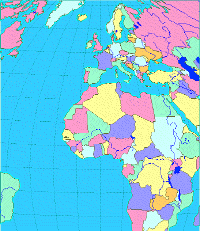
The example below shows the result of applying output clipping to data in the Bonne projection (standard parallel 5°, longitude 0°) using the following values:
- X: minimum -475000, maximum 475000
- Y: minimum -350000, maximum 750000
Copyright © 1998 to by Envitia Group PLC.